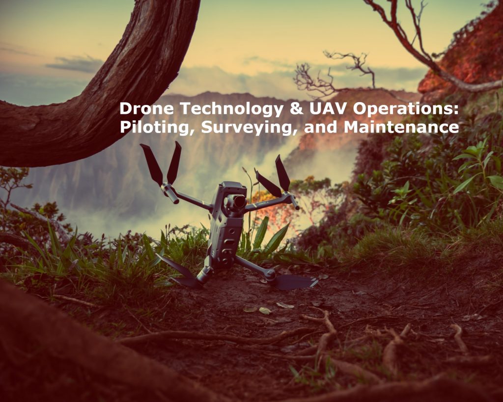
 Drone technology, also known as unmanned aerial vehicle (UAV) technology, has transformed various industries through its unique ability to access hard-to-reach locations for data gathering, monitoring, and more.
As drones grow in sophistication with applications across agriculture, construction, emergency response, and other fields, proper piloting, surveying, and maintenance is crucial for both operational efficiency and safety.
What are Drones & UAVs
A drone, or UAV, is an aircraft that flies without an on-board human pilot. UAVs are equipped with varying levels of artificial intelligence that allow them to operate autonomously or be piloted remotely. Today’s drone models make use of advanced software, sensors, and GPS navigation.
UAV applications rely on drones’ capacity to:
- Fly at low altitudes safely
- Hover steadily for image capture
- Navigate to precise 3D locations
- Relay back live video and sensor data
Modern technology now allows hobbyist, commercial, and military drones to undertake an ever-widening range of aerial tasks.
Why Piloting, Surveying & Maintenance Matter
As UAV usage increases across industries, properly trained personnel are needed to operate them. From navigating flights to gathering and analyzing payload data, specialized roles keep drone programs running smoothly and safely.
Piloting dictates the flight path and execution of UAVs. Surveying enables drones to gather incredibly detailed terrain insights and site data. Maintenance ensures reliability in the field and extends operational lifespans. Ongoing advancement in all these areas pushes capabilities and applications forward.
Drone Piloting
The role of UAV pilots continues advancing right alongside drone technology itself. Today’s remote pilots must master coordination via digital commands as well as real-time adjustments based on aerial conditions.
Core Principles
These core skills form the foundation of competent drone piloting:
- Operating the remote controller for takeoff, navigation, hovering, landing, and more
- Managing critical facets like altitude, speed, orientation, etc.
- Understanding fail-safes, limiting factors, emergency measures, and optimal environmental flying conditions
- Maintaining visual line-of-sight observation and awareness
Additionally, pilots communicate with ground crews to direct and adjust flightpaths based on mission objectives, air traffic advisories, FAA regulations, and other variables. They also confirm that sensor payload integration meets weight limits and balance requirements prior to takeoff.
Advanced Techniques
As UAV capabilities progress, advanced flight techniques leverage added functionalities:
- Autonomous flight modes that self-navigate via pre-programmed GPS waypoints when conditions allow
- Waypoint navigation planning complex automated routes with contingency logic
- Obstacle avoidance technologies detecting and bypassing objects mid-flight through lidar sensors
Multicopter drones with stabilized camera mounts have opened up cinematic videography and photography domains as well. Skilled pilots even choreograph artistic aerial performances.
Training & Certification
Managing compliance, safety, and effectiveness demands proper drone pilot certification.
Regulations dealing with:
- Altitude limits
- Airspace classifications
- Hobbyist vs commercial permissions
Privacy concerns
continue evolving to keep pace with UAV industry growth. To develop key flight skills, training programs offer virtual simulations, online courses, in-field practice, and multi-craft workshops. Certifications then validate competency to organizations deploying drones for paid services.
In the future, advanced autonomous UAVs may reduce direct human piloting but will still rely accurate navigation programming. Legal certification will likely continue playing a role for commercial operations as well.
UAV Surveying
Drone surveying serves core mapping, modeling, and analytical needs for industries like agriculture, construction, conservation, emergency response, and more. Specialized aerial data gathering greatly outperforms ground-level efforts in speed, accuracy, and cost-effectiveness.
Surveying technique typical sensors/cameras industry applications
Photogrammetry high-resolution RBG cameras Agriculture monitoring Construction site mapping Environmental assessment
Laser scanning (lidar) lidar sensors Forestry mapping Corridor mapping Archaeology site mapping
Thermal imaging thermal cameras Solar farm inspection Pipeline inspection Building inspection
Overview
Thanks to swappable payload adapters, customizable drones can equip an array of sensors and cameras based on surveying mission requirements:
- High-resolution visual cameras – Photogrammetry processing extracts geo-coordinates from overlapping images to construct detailed 2D maps and 3D models.
- Lidar sensors – Provide highly accurate distance data scanned across terrain and structures. This establishes elevation models, contours, volumetrics.
- Thermal cameras – Identify relative temperature variance across a site, helping pinpoint structure hot spots, crop water needs, and more.
Applications
Common drone surveying applications include:
Agriculture monitoring – surveying crop growth patterns, hydration needs, soil conditions, drainage issues, equipment faults, all at immense scale.
Construction site mapping – frequent site model updates to track progress and changes without interference. Volume, slope, and area reports can monitor cut and fill needs through various phases.
Environmental monitoring – repetitive data gathering across inaccessible or hazardous areas. This allows for remote assessment of erosion, forestation, wildlife patterns and more over time.
Equipment & Data Processing
Post-processing converts gathered UAV surveying data into actionable insights. This relies on:
Photogrammetry to construct geo-located 3D models from drone image capture. Overlapping photos taken in careful flight paths allow for detailed scene reconstruction via mapping software.
Lidar point clouds to precisely map sites remotely by applying measured sensor pulses reflected from structures and landscape. Post-processing handles cleaning, transforming, and analyzing point cloud data.
Both routes integrate closely with Geographic Information System (GIS) platforms to generate interactive site maps, 3D models, charts and reports for industry pros to leverage.
Drone Maintenance
A focus on preventative drone maintenance ensures reliability in field application and extends hardware lifespan. Checks between and before flights are advised in maintenance plans.
Neglecting this aspect often decreases UAV performance, risks failures mid-flight, and drives up early replacement costs. Appointing personnel for oversight keeps maintenance consistency.
Importance
Consistent maintenance directly impacts:
Operational efficiency – Well-functioning drones complete missions reliably within optimal battery cycles and equipment capacities. Software monitoring helps identify performance changes needing correction.
Hardware lifespan – Regular inspection and parts replacement reduces mechanical wear-and-tear and deterioration to maximize years of service. This includes testing batteries, sensors, body fixtures, motors, and gears for detectable degradation over time.
Routine Maintenance
Frequent easy upkeep steps include:
- Battery management
- Follow charging/discharging best practices
- Check voltages
- Replace outdated batteries
- Propeller inspection
- Confirm tightness on motors
- Check for cracked/damaged propellers
- Replace props every ~200 flights
- Software updates & firmware checks
- Update controller and drone firmware versions
- Update/recalibrate sensors
- Clear any logged error alerts
Troubleshooting Issues
Field personnel should be trained to diagnose and address common drone issues like:
- Failing to achieve GPS lock for waypoint navigation or return-to-home functions
- Controller/receiver connection problems causing control link loss
- Motors or sensors behaving erratically signaling component failures
- Having spare backup parts readily available reduces downtime when components degrade or break unexpectedly far from the central workshop.
Future Developments
Opportunities & Challenges
As drones play bigger roles across various industries, balancing rapid innovation with reasonable regulations around safety, privacy, liability remains tricky.
Overcoming beyond-visible-line-of-sight restrictions could allow autonomous multi-mile deliveries and remote fleet coordination. Onboard collision avoidance tech opens the potential for low-altitude urban flightpaths.
Updating airspace classification and clearance protocols will ensure safety stays a priority. Other legal considerations around aggregating personal residence photography exist as technology becomes more powerful. Getting the policy recipe right will help progress match pace with possibility.
Conclusion
Advancement in drone design, piloting techniques, data synthesis, and reliability pushes UAV possibilities ever further across professional domains.
Still, seasoned remote guidance, accurate aerial data capture, and preventative upkeep provide the foundation allowing organizations to tap their full capabilities. As regulation catches up to the pace of innovation, drones will continue expanding from nice-to-have novelty to standard competitive necessity.